Affordable Accessibility in Charlotte-Mecklenburg
Charlotte, North Carolina, USA
By Paul Kardous
housing, affordability, charlotte, affordable, transportation, access
Identifying potential locations for future affordable housing development in Charlotte-Mecklenburg
Charlotte, North Carolina has been experiencing unprecedented growth since the early 1980’s. As the population continues to boom, it has put a strain on the availability of affordable housing. Due to rising market rents, and the lack of incentive for developers to construct additional non-luxury units a task force has been set up to explore alternatives to stimulate the creation of affordable housing in the city and county.
One of the findings of this task force was to create a database of potential sites for affordable housing to be constructed. This is a first step in the creation of this database. It includes most land currently off the tax rolls and in the hands of either city, state, or local government, or in the hands of nonprofit and religious organizations that may be interested in partnering to help create a more affordable community. The site asks for input from the community on additional parcels of land that may be a fit, and whose owners are interested in partnering for future development.
A new report called Leading on Opportunity was released in March of 2017, which also restated the previous goals of finding more sites for affordable housing.
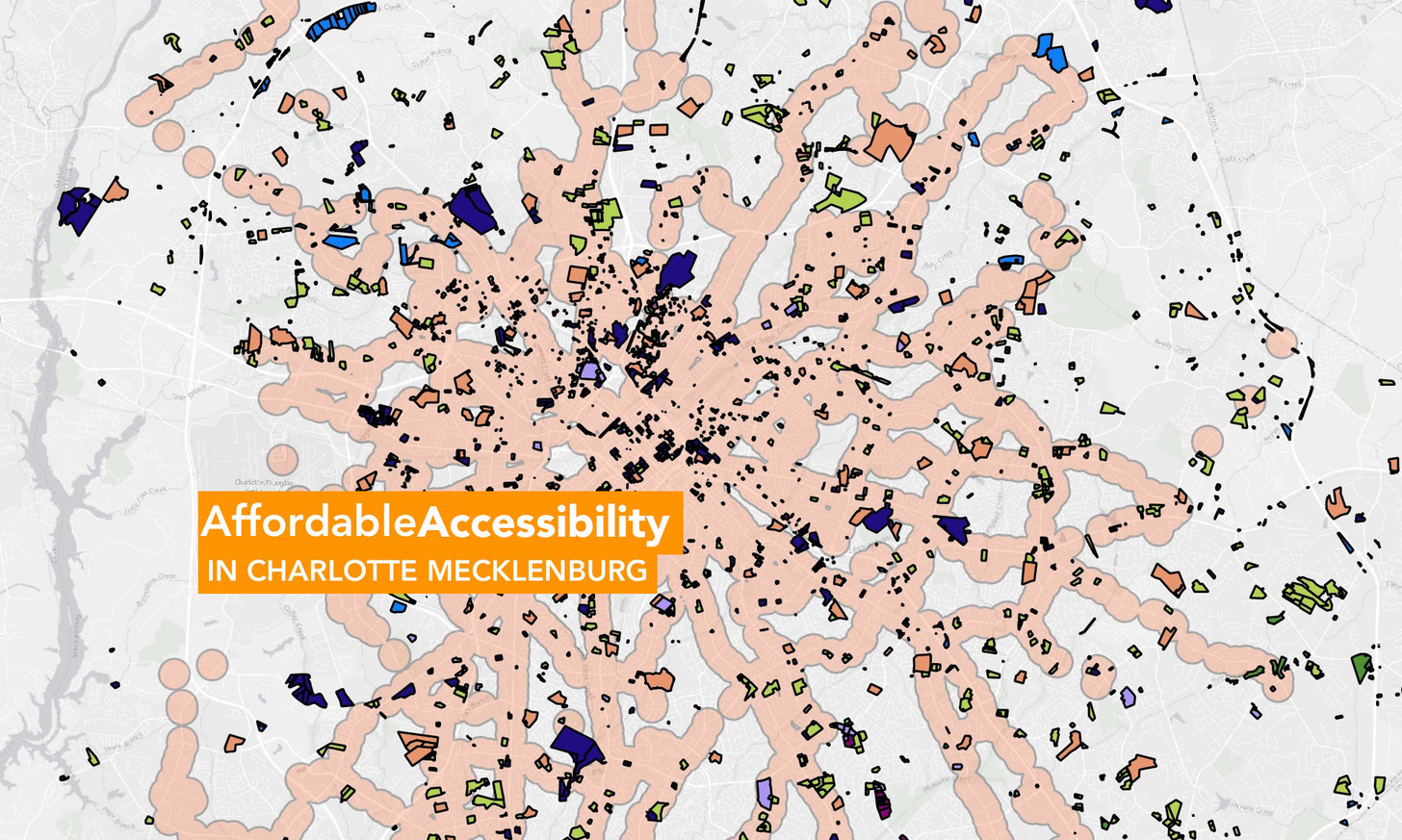
Using data from the City of Charlotte Open Data Portal, Mecklenburg County GIS, the US Census Bureau, and the Charlotte Area Transit System I tried to begin to piece together a picture of the parcels of land which could be analyzed – in partnership with the owners – for their potential to be used as sites for additional units of affordable housing. One of the main factors was to map the accessibility of these potential sites. Looking at the location of CATS bus and rail stops, I drew a buffer of ¼ mile around each bus stop, and ½ mile around each rail stop to highlight areas accessible via transit.
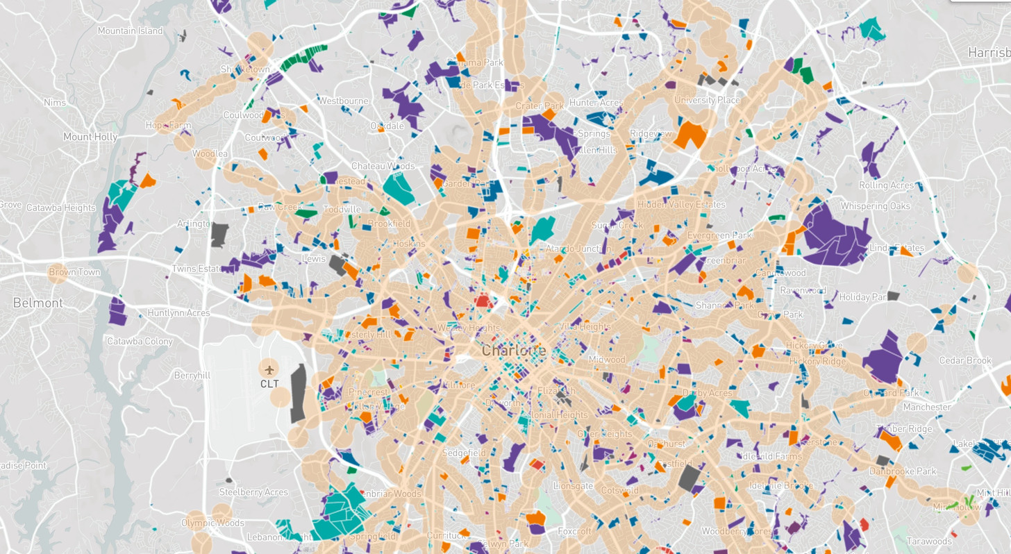
The different colors represent parcels of land owned by different organizations, including City, County, Towns, State of North Carolina, Religious Organizations, and Other users. The checkboxes allow users to look at only one kind of parcel at a time, or multiple ones to identify adjacencies. As more properties are brought online, the ability to select by different owners will be added.
There is a Google Form which allows people to suggest parcels to be added, and also suggest that certain parcels be removed because they are not appropriate.
Access to transportation is critical in the decision of where to locate new units of housing, and even more important when it comes to locating affordable housing. This map shows all the Local and Express bus routes offered by the Charlotte Area Transit System (CATS). This can help partner agencies decide what routes connect housing locations with jobs and education.

Currently I am in discussions with The Housing Partnership, a non-profit city funded agency which develops affordable housing in Charlotte-Mecklenburg, to use the map to help locate sites for new developments. They are interested in using it as another tool for them to help make more informed decisions in their site selection process.
- Link 1 - pkardous.github.io/affordability/